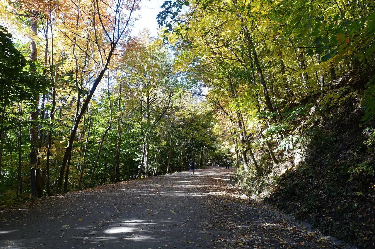
Trail / Mount Royal Park (Plateau / Côte-des-Neiges)
Chemin Olmsted (Olmsted Road)
THE SLOW WAY UP
Olmsted's original carriage road climbs Mount Royal gently, and this year it doubles as a free photo exhibition.
- From home
- 11 min drive
- Spend
- $$$$
- Our dates
- Open Tue-Thu. Mon holiday hours unconfirmed
The verdict
Go, ideally on a dry afternoon with the foliage still on. It is the best way to feel the mountain rather than just ride up it, and the 150th-anniversary panels give you something to read on the way. Budget a real chunk of time, since the city's own map pegs it at 90 minutes to the summit loop. Catch: the stretch near Beaver Lake was under resurfacing until Oct 10, so expect signage or detours.
- Olmsted's original carriage road, designed by the Central Park architect
- Free 150th-anniversary outdoor exhibition along the route
- Peak-ish fall colour window in mid-October
Vibe check
chill/low key
Best forfall colours, a slow, scenic half-day, first-timers on the mountain
What it costs
No entry fee listed on the city page; the McCord outdoor exhibition is free. Parking at the park lots is paid (rates not listed).
On our dates
Park open daily 6am to midnight
- Mon 12Maybe
- Tue 13Open
- Wed 14Open
- Thu 15Open
Thanksgiving MondayCity park page shows the same hours every day and no holiday notice; no explicit Oct 12 statement. Outdoor exhibition is described as accessible at any time.
Full week
| Mon | 6am to midnight |
|---|---|
| Tue | 6am to midnight |
| Wed | 6am to midnight |
| Thu | 6am to midnight |
| Fri | 6am to midnight |
| Sat | 6am to midnight |
| Sun | 6am to midnight |
Is it worth it?
Yes. It is the most rewarding free thing you can do with a mid-October afternoon, as long as the weather holds.
- Best time
- Dry afternoon in daylight
- Time needed
- 90 min to the summit loop (city map); exhibition tour 45 to 70 min
- Cost
- Free (parking at park lots is paid)
- Difficulty
- Easy to intermediate
- Trail
- 4.4 km
- Weather
- Best dry. Gravel path gets muddy after rain; needs daylight.
- This season
- Mid-October is fall-colour season. The city page lists the Olmsted path at 8.3 km total, while the city map gives 4.4 km to the summit loop.
Good forfall colours, walking, photo exhibition
Pair it with
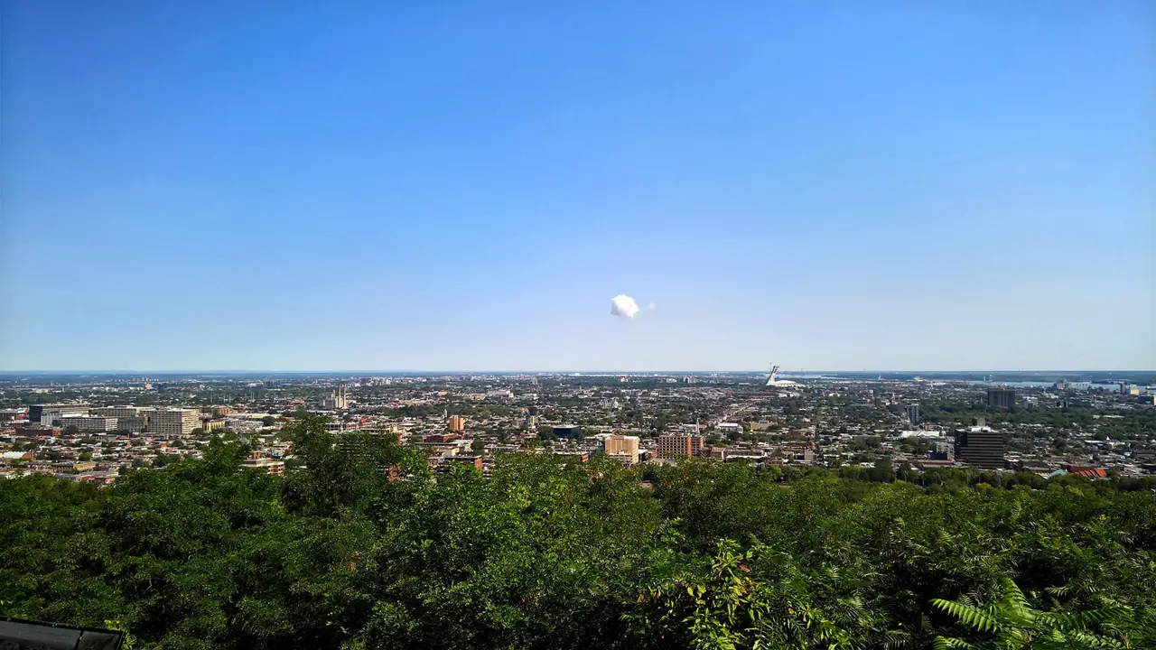
- Kondiaronk lookout chalet at the top, on the exhibition route, for the city view
- Maison Smith, on the exhibition route, as a rest stop
Where
Start: Sir George-Étienne Cartier monument, Parc du Mont-Royal. Park office: 2000 chemin Remembrance, Montréal, QC H3H 1A2
While you're there






The receipt
Where every fact on this page comes from.
ResearchedResearched Oct 8, 2026. Second check pending. Confidence: medium.
Details to confirm
- Did the Beaver Lake resurfacing finish on Oct 10, and is the path fully open Oct 12-15?
- Oct 12 holiday access not explicitly stated
- mtl.org 2-3 hour estimate not re-verified (search budget exhausted)
- Path total 8.3 km (city page) vs 4.4 km to summit loop (map); map edition year not confirmed
- Exact start-point address not given; only the park office address